When Satellite Data Improves - What Happens in Clean Technology?
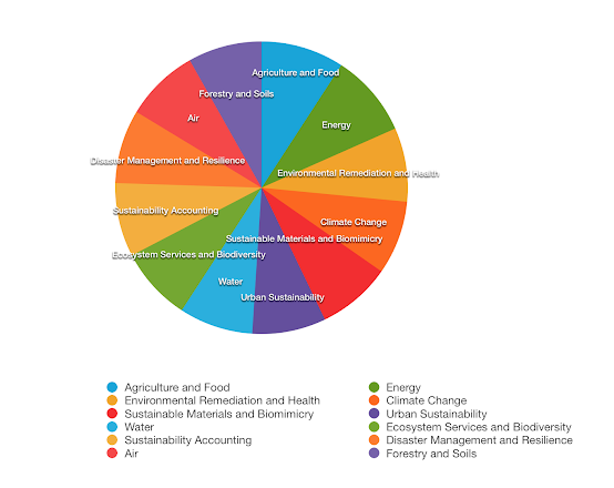
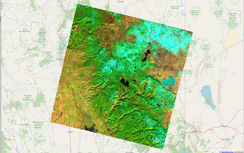
In June this year, we had a lively discussion and online workshop on remote sensing data and how monitoring processes occurring on the Earth was why the Landsat satellite program was launched in the 1970s - a program that’s still running today. But here’s an interesting question that came up in our conversation - since water, agriculture, energy and other clean tech sectors have been using remote sensing data for such a long time - what is so different now? To answer that question, let’s first talk about how satellite data is used in clean technology. The sectors where satellite data, and data science in general, are widely used both commercially and in research and development are agriculture, energy, water, climate and disaster management. So, what are the different uses of satellite data in each of these sectors? Let’s take agriculture first. Researchers and scientists have been using satellite data since the 1970s...


